
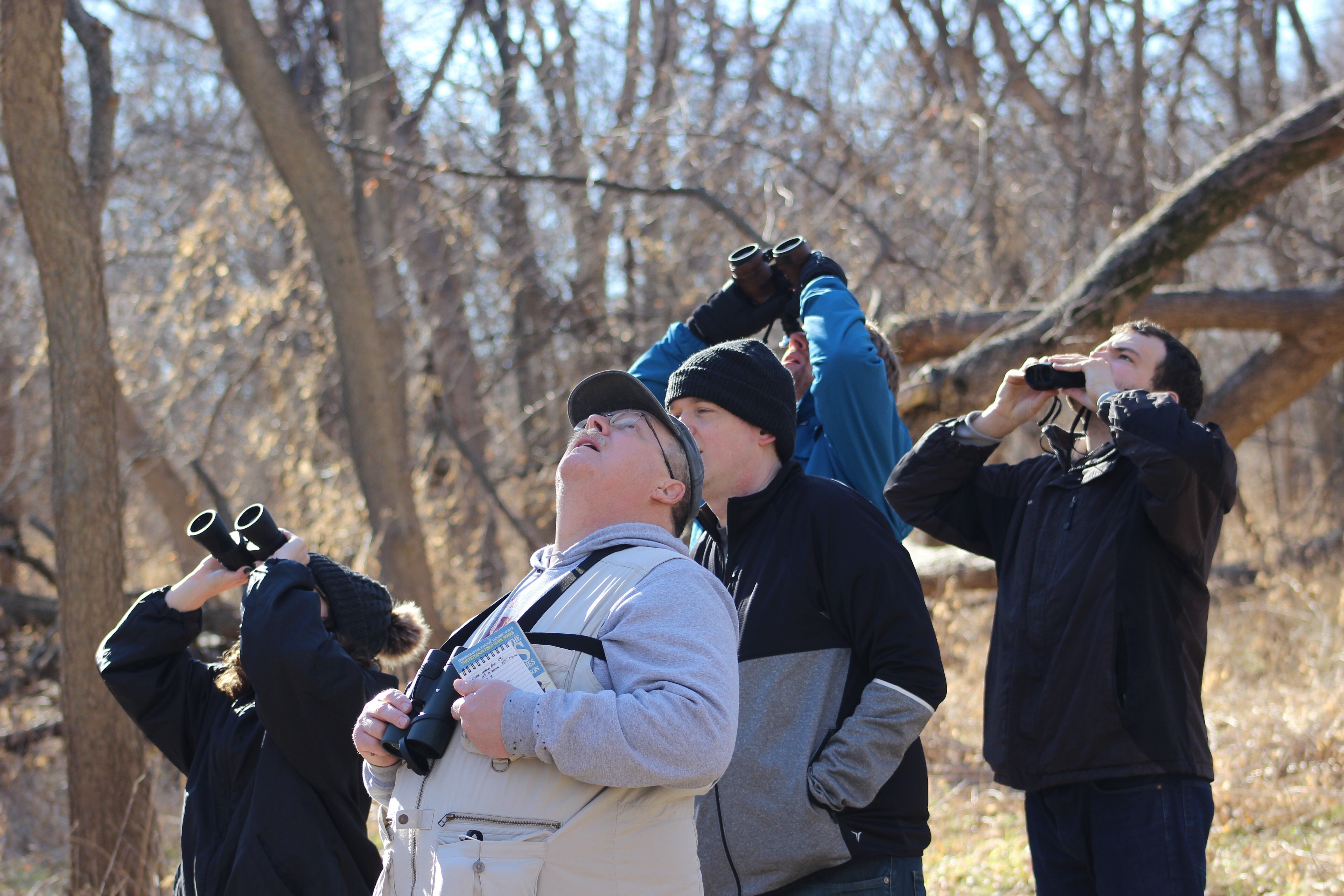
From 1964 to 1967, Lancaster County officials along with members of the Wilderness Park Committee, the City of Lincoln, and the Salt Valley Watershed District got to work planning and funding Wilderness Park.
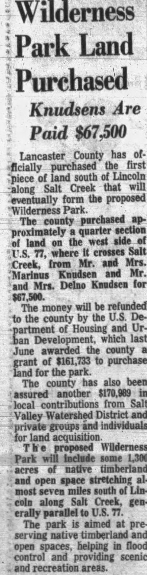
In the previous blog post, I mentioned a federal initiative to create green spaces in the United States. This initiative was coordinated by the US Department of Housing and Urban Development through a program called Open Spaces. The program would eventually be responsible for a $161,733 matched grant towards the purchase of 651 acres of land. Eventually, the whole Wilderness Park Project would constitute around half of a million dollars in land purchases (1,300 acres).
On November 11th, 1967, it was announced the first parcel of land was purchased for Wilderness Park. This 160-acre quarter section, previously owned by the Knudsen family, is located in the area we now call the 14th entrance just south of Yankee Hill Road.
As I researched the location of this first parcel, I had trouble finding where Hwy 77 crossed Salt Creek as mentioned in the Lincoln Journal Star at the time of purchase. I then recalled 14th Street was actually once designated as HWY 77 before the highway was moved to the west and turned into a 4 lane. The only place 14th Street crosses the mighty Salt Creek is in this area. Eureka! I found it!
2022 marks the 50th anniversary of Wilderness Park! If you have a story you’d like to share, please contact us at friendsofwildernesspark@gmail.com
-Adam Hintz