Wilderness Park is the largest park in our community with more than 1,400 acres in southwest Lincoln, seven trailheads and more than 17 miles of dirt hiker/biker/equestrian trails through dense forest, meadows and creek beds.

Trailheads
We hope everyone finds their way to Wilderness Park for a hike, bike or trail ride. Please remember:
- All trails are open sunrise to sunset.
- Trash cans are available in every parking lot.
- There are no restrooms or water stations in the park.
Day Camp entrance: West side of First Street between Calvert Street and Park Blvd. (Watch for the Wilderness Park Day Camp sign, small paved parking lot.)
Trail features:
- Trails encouraged for hikers, horse riders.
- A fitness loop area.
- Trails run alongside the old Salt Creek channel and Highway 77.
- Wetlands to the north.
- Horse stables on the southwest end of the trail loop.
- A former day camp was located on the southern end of the trail loop, in fact, many camps have been located here historically including Boy and Girl Scouts, Lincoln Park and Electric Park.
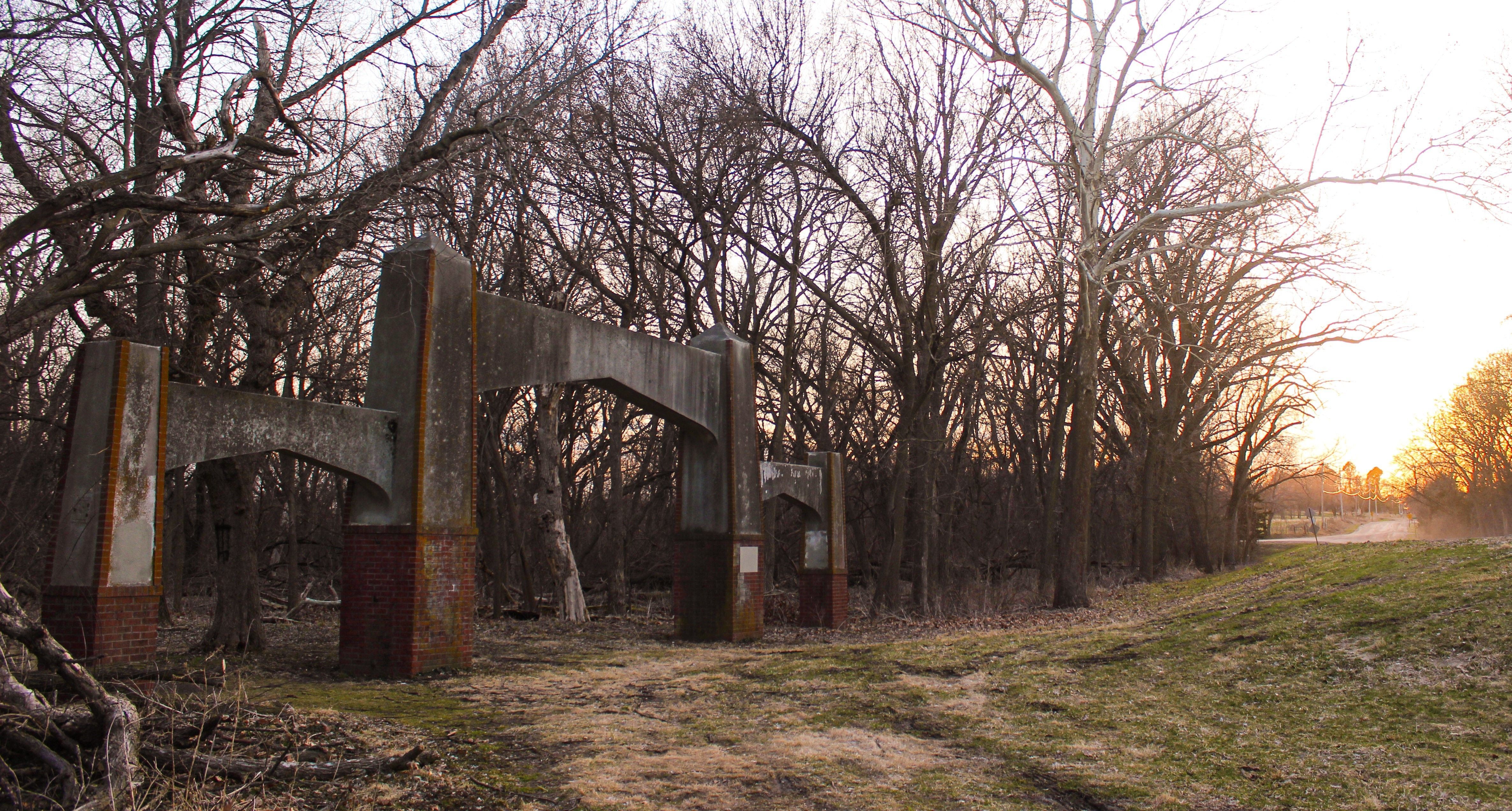
Arches entrance: Southeast corner of First Street and West Calvert. (Watch for the arches, gravel parking lot.)
Trail features:
- Trails encouraged for hikers, horse riders.
- Access to Salt Creek.
- Remnants of the former Epworth Park, such as old bridge footings. Once upon a time this park was a major entertainment area for Lincoln citizens with a swimming lake and activities.
Pioneers Boulevard entrance: North side of Pioneers Blvd. between 1st and 8th streets. (Watch for two large trees growing in the center of the parking area, gravel parking lot.)
Trail features:
- Trails encouraged for hikers, bikers.
- Beal Slough located north of the parking lot.
- Trout lilies bloom in spring/April.
- Heading south from the parking lot, you’ll find a bridge that spans Salt Creek.
- South of the parking lot was the location of the old Abraham Beal homestead (long gone now).
First Street entrance: East side of First Street between Pioneers Blvd. and Old Cheney. (Gravel parking lot, trails only head south, popular for horse riders.)
Trail features:
- Trails encouraged for bikers, horse riders.
- Parking lot a popular area to unload horses.
- A bridge that connects to additional trails.
- A low water crossing where it can get muddy (and sometimes inaccessible).
Old Cheney entrance: North side of Old Cheney between First Street and Hunts Drive. (Watch for dirt road heading north off Old Cheney, gravel parking lot.)
Trail features:
- Trails encouraged for hikers, bikers.
- Heading north will connect you to Jamaica Trail.
- Heading south will take you over the popular suspension bridge.
- This trail will take you all the way to the 14th street entrance.
- Heading further south takes you over the old Rock Island train line.
- Just north of the train line, currently the trail is rerouted due to bridge removal.
Fourteenth Street entrance: West side of 14th street between Yankee Hill Road and Denton Road. (Watch for metal bridge crossing Salt Creek, large gravel parking lot, central hub for Wilderness trail.)
Trail features:
- Trails encouraged for hikers, bikers, horse riders.
- Metal bridge to northeast.
- Access to west and east sides of Salt Creek.
- Opens up to hiking, biking and horse-riding trails in the area.
Saltillo entrance: North side of Saltillo between 25th and 27th streets. (Watch for dirt road directly west of railroad tracks from Saltillo Road to parking lot, dirt parking area.)
Trail features:
- Trails encouraged for hikers, bikers.
- Trout lilies in spring/April.
- Bitternut hickories and American elm.
- Heron rookery.
- Oak savanna restoration project.
- Jamaica trail just west of Salt Creek and this trailhead.
- Currently not connected to additional Wilderness trails, but plans for new bridge sometime in 2020.

